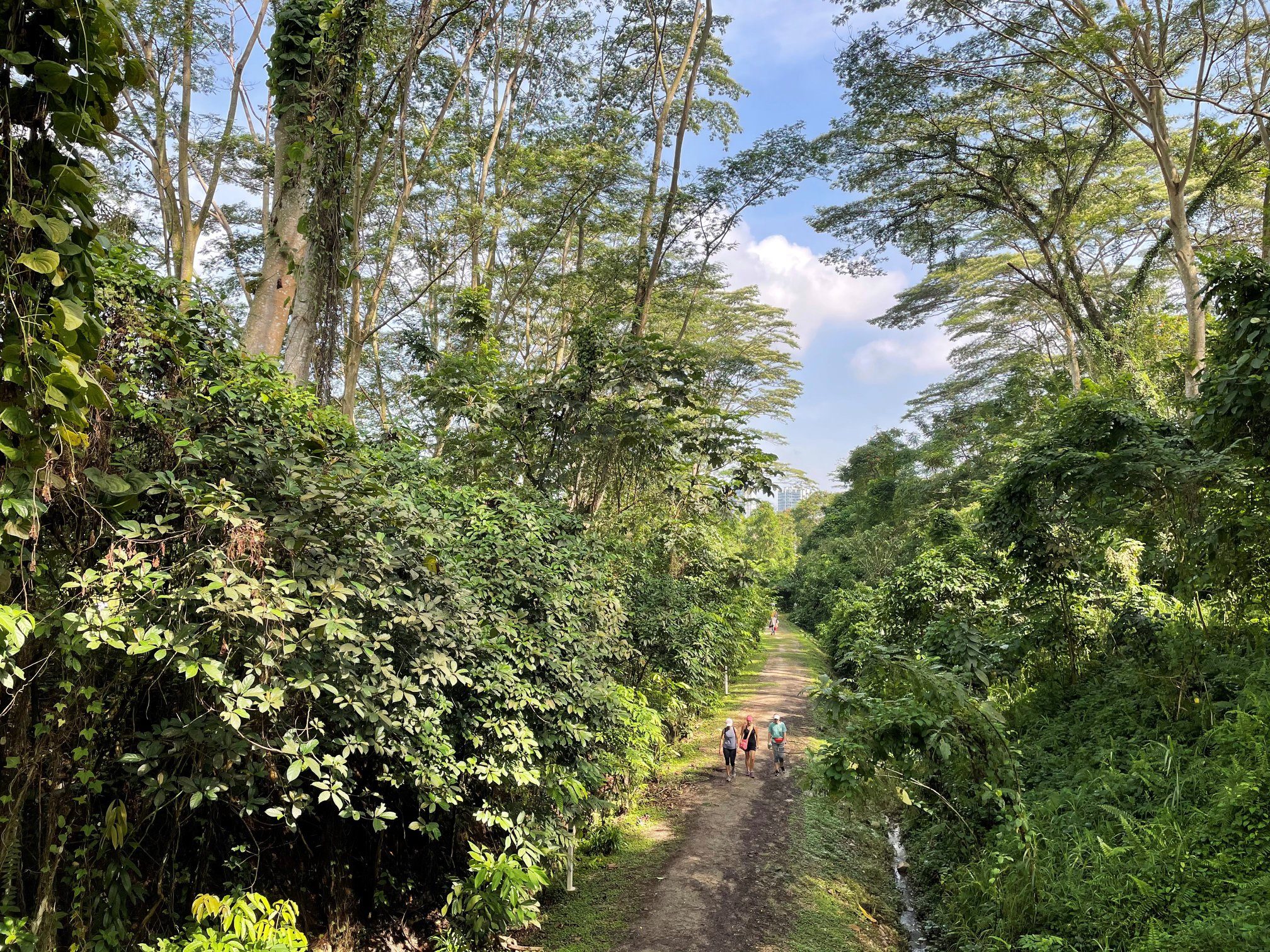
Exercise may be painful, but a meal at the end might make it more palatable. If that proves to be an incentive, here are eight hiking trails in Singapore to good food.
Since the country was imagined as a garden city, urban planners have been incorporating new trails and greenways into the environment. The push has only accelerated in recent years, and the authorities have set a target of 360 kilometres of curated trails and 500 kilometres of park connectors by 2030.
Much of the trails below can be navigated on foot or by bike. They also pass many food centres and bathrooms. The next time you strap on your walking shoes, think of these eight trails that will reward at the end.
8 best hiking trails in Singapore that end with good food
Chestnut Nature Park to Rifle Range Nature Park
Estimated distance: 15km
Suitable for: hiking
Bathrooms / water stops: yes
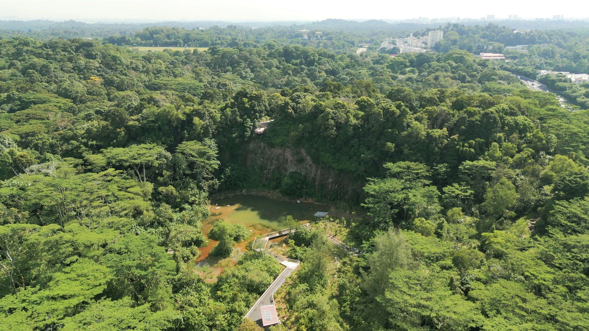
This hike takes you entirely through green spaces. Both Chestnut and Rifle Range nature parks are the country’s way of buffering the fragile Bukit Timah Nature Reserve from too many visitors, and this hiking trail lets you navigate much of the same biodiversity in Singapore, all while leading you to a plethora of food choices.
Start off at Block 276 Bangkit Road in Bukit Panjang or Chestnut Nature Park carpark. The park is divided into north and south, and it is best to tackle the northern part first before moving on to the south. Once completed, walk along Dairy Farm Road to get to Belukar Trail. A portion of the trail runs over an open green space with massive pipelines before crossing Rifle Range Road into Rifle Range Nature Park. The former quarry there is a highlight before finishing at Rambai Boardwalk.
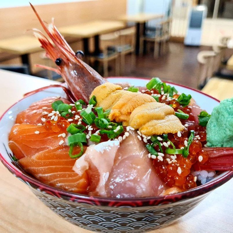
It’s choices galore at Bukit Timah once you are done hiking. Rambai Boardwalk is connected to Beauty World Centre by a bridge, and there you’ll find homestyle Korean restaurant Yogiyo, Feng Xiang Bak Kut Teh, hummus and kebabs from Hapiha Mediterranean Fast Food, and traditional eggs and kaya toast from May’s Cafe. In the neighbouring malls, Lomba does Nepalese comfort food, and Chirashizushi Shou serves generous and affordable portions of chirashi bowls.
Opposite is Cheong Chin Nam Road and its stretch of eateries. There, you’ll find Indian-Muslim cuisine and Halal renditions of Thai and Western food, Japanese skewers from Mikawa Yakitori Bar, and Korean barbecue by O.BBa Jjajang. Delightfully aromatic carrot cake, satay bee hoon, Hokkien mee, and other local specialities await at Bukit Timah Food Centre, while Hup Choon and Irvins at Binjai Park present tze char and Peranakan dishes respectively.
Changi Village to Seletar Aerospace Park
Estimated distance: 30km
Suitable for: hiking or cycling
Bathrooms / water stops: yes
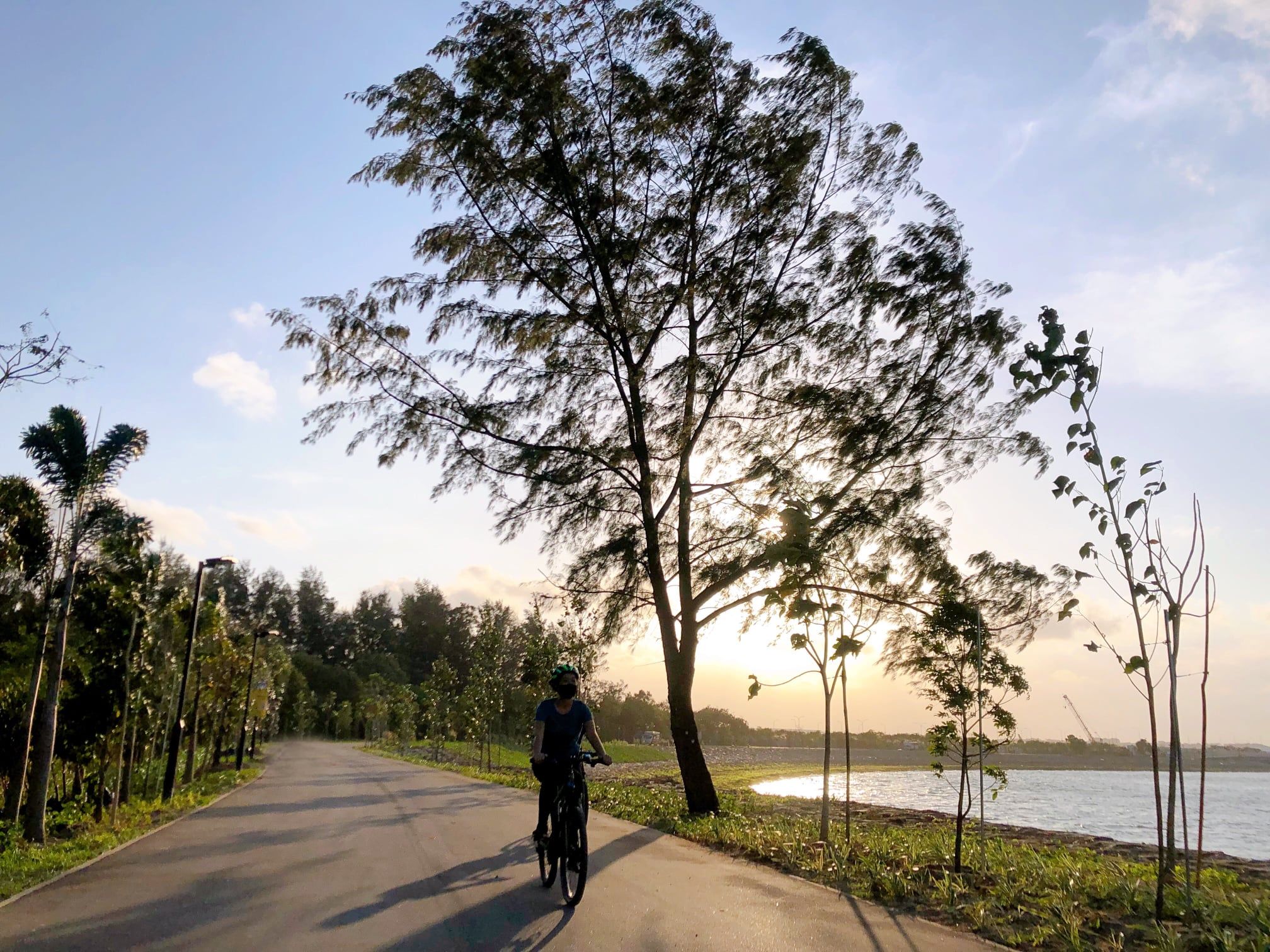
With the opening of the Round Island Route early this year, hikers and cyclists now have access to Singapore’s north-eastern shoreline, skirting mangrove swamps and rustic forests with view of Johor Bahru across the Singapore Strait.
Instead of ending at the popular Changi Village, this route begins from there and takes you pass places like Changi Bay, Pasir Ris Beach, Coney Island, Sengkang Riverside Bridge, and Punggol islands, before ending at Rower’s Bay Park near Seletar Aerospace Park.
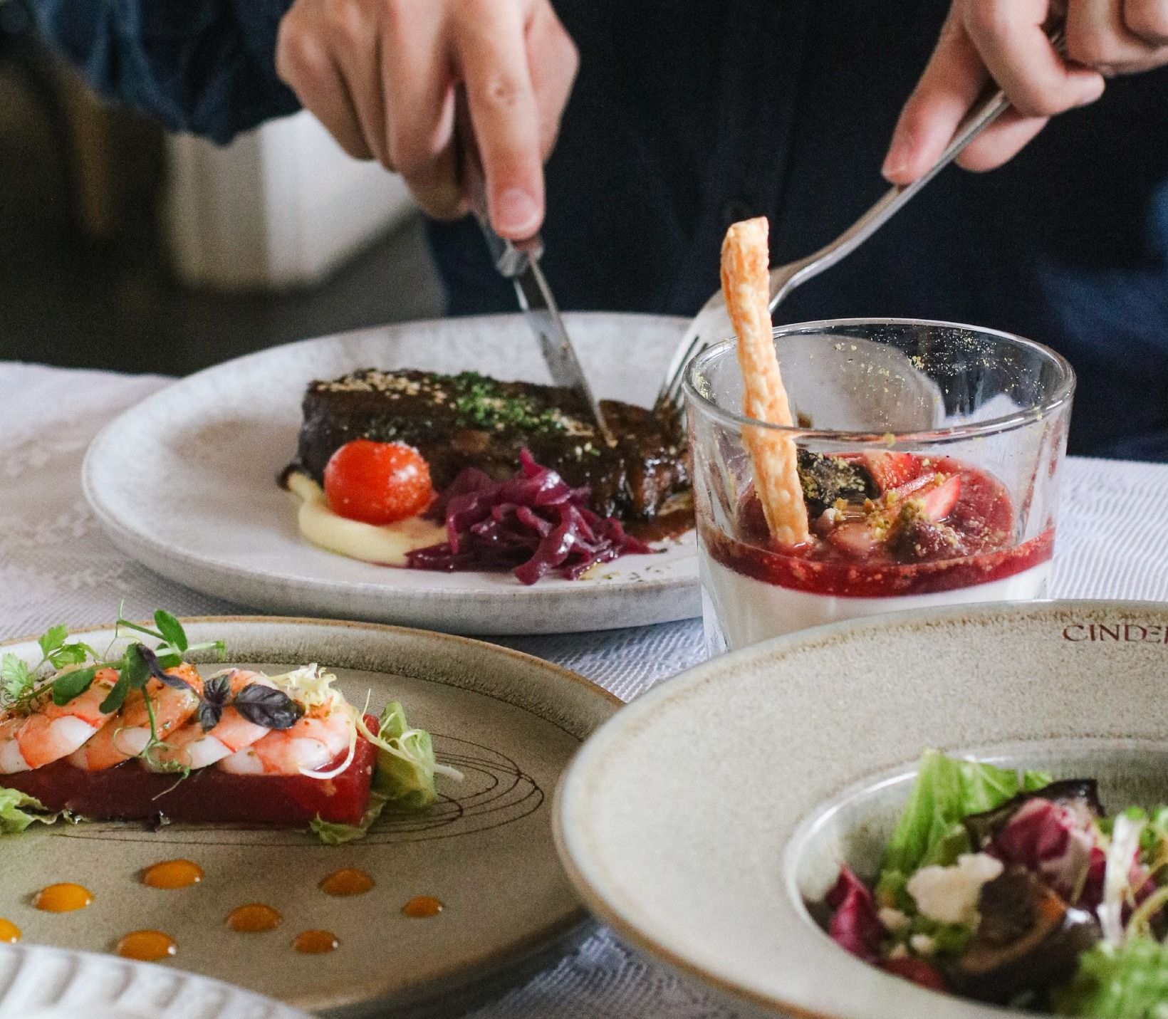
If you can’t take a step any further, recuperate at Georges Hideout. The establishment serves bar favourites like chicken wings, fish and chips, pork ribs, German-style crispy pork knuckle, and pizzas, washed down with drink deals including one-for-one on house pours and draft beers. At the south-eastern portion of Seletar Aerospace Park, Hangar66 Cafe is an aviation-themed restaurant that offers Japanese rice bowls and pastas, and Wildseed Café & Bar makes atas kaya toast during the day and Angus onglet steak at night.
Their neighbour is Wheeler’s Estate, which calls itself “Singapore’s largest dining destination.” Comprising of a substantial colonial building and sprawling alfresco area, the restaurant presents Australian-inspired fare such as grilled lamb saddle and pork tomahawk, while Cinder upstairs is a steakhouse and wine bar that is a touch more upscale. Also in a black-and-white bungalow is 5 by Sans Façon. Dishes like mussels marinières have a French touch, but they also do burgers and brunch items like eggs Benedict.
Coastal Park Connector to Changi Village
Estimated distance: 15 kilometres
Suitable for: hiking or cycling
Bathrooms / water stops: yes
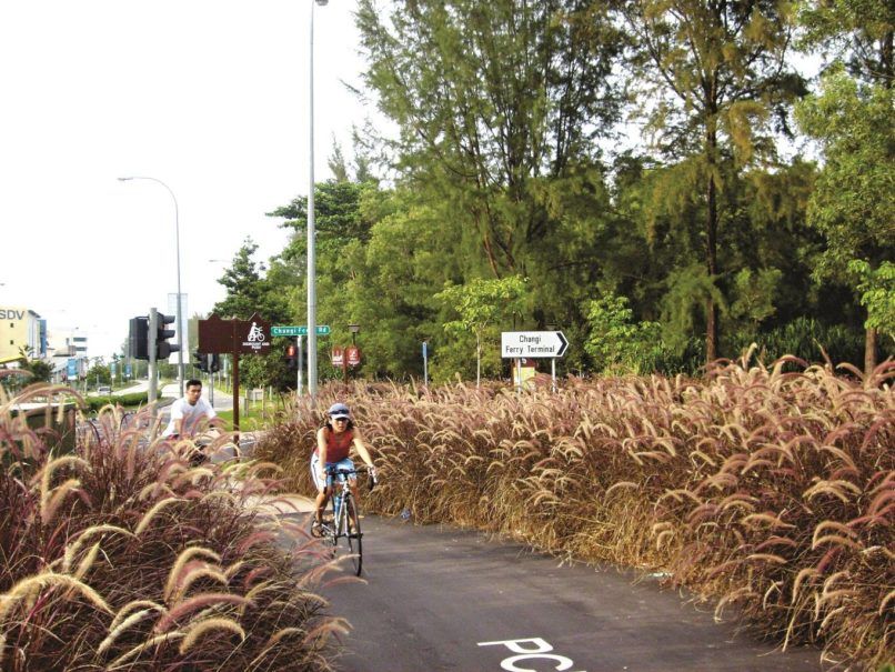
The Coastal Park Connector is a route that skirts the country’s airport and eastern coast. It links to other park connectors as well, but start at Tanah Merah MRT Station for easy access. From there it’s a short jaunt down the Bedok Park Connector before veering east towards Changi Airport.
The trail takes you along Changi Coast Road, where you can watch planes take off and land amid lush greenery and an ocean breeze. Changi Jurassic Mile also forms part of this path, where you can view over 20 life sized dinosaur exhibits. The path ends at Changi Beach Park, one of the oldest coastal parks in Singapore and the jumping off point to Pulau Ubin.
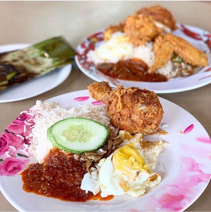
For food, head to Changi Village. The venerable Changi Village Food Centre is well known for its nasi lemak, satay, hor fun, goreng pisang, and much more. Chock Full of Beans cafe does intricate latte art, while A Spoonful of Sugar dishes out ice cream. Little Island Brewing Company has a large outdoor space where you can drink craft beer brewed onsite. Find the full list of the best Changi cafés and restaurants here.
MacRitchie Reservoir Loop to Upper Thomson
Estimated distance: 11 kilometres
Suitable for: hiking
Bathrooms / water stops: yes
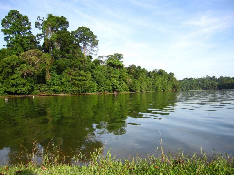
MacRitchie Reservoir Park, which forms part of the Central Catchment Nature Reserve, is Singapore’s oldest reservoir. There’re a few entrances, but we recommend starting from Windsor Nature Park, an adjacent green space that links to MacRitchie.
From there, follow the yellow trail towards the Treetop Walk (currently closed for renovations). You’ll pass streams, old stone bridges, and Jelutong Tower, which you can climb for a treetop view of the surroundings. The trail then meanders around the Singapore Island Country Club golf course before dipping back under the foliage of the Lornie Trail. Alternatively, take the boardwalk that skirts the reservoir’s edge. Stay on the yellow trail to end up where you started, and head out from Windsor.
There are plenty of dining options by Upper Thomson MRT Station. Thomson Plaza is one, which has a food court known for its laksa and popiah. Japanese restaurants like Hajime Tonkatsu & Ramen and collagen hot pot from Tsukada Nojo are popular too.
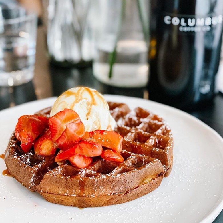
Further down from the mall is the long-surviving Roti Prata House, famous for its crispy take on the dish. Meng’s Kitchen draws in the crowds with their bak chor mee, and Nam Kee has been serving chicken rice in the area since 1960s. Columbus Coffee offers cold brews and waffles, while Shawn’s Beer Nest pours craft beer from their taps.
East Coast Park to Katong
Estimated distance: 10 kilometres
Suitable for: hiking or cycling
Bathrooms / water stops: yes
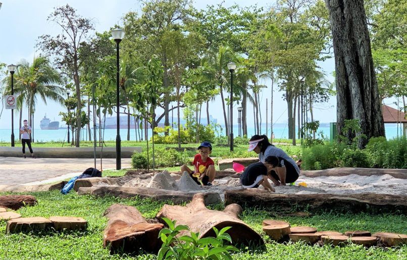
East Coast Park runs parallel to Singapore’s southeastern shoreline with views of cargo ships in the bay and Indonesia in the distance. It’s especially crowded on the weekends with families flocking to the beaches.
There’re many ways to get onto the trail, but one easy option is by Stadium MRT Station. From there, head west on the Geylang Park Connector towards Tanjong Rhu Promenade, loop around Passion Wave @ Marina Bay, and you’re on East Coast Park proper. It’s an easy, quiet walk (on weekdays) through tall, swaying trees before you encounter more people along the beaches.
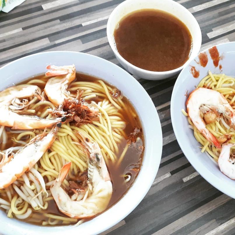
Similarly, there are many exits out of East Coast Park but we recommend reaching Siglap Park Connector before turning left on East Coast Road. Dining options are abound here. For local food, there’s the briny prawn noodles from Beach Road Prawn Noodle House, herbal style bak kut teh from Sin Heng, zi char from Sin Hoi Sai, or the popular 328 Katong Laksa.
Forty Hands, Homeground, or C Cafe offer a caffeine fix, while Petit Pain brings quality croissants if you’re prepared to wait. Dine on European inspired fare from Picotin and Casa Nostra, then enjoy quality gelato from Birds of Paradise. If you’re looking for craft beer, In Bad Company and Good Intentions have you covered.
Central Rail Corridor to Upper Bukit Timah Road
Estimated istance: 6 kilometres
Suitable for: hiking or cycling
Bathrooms / water stops: no
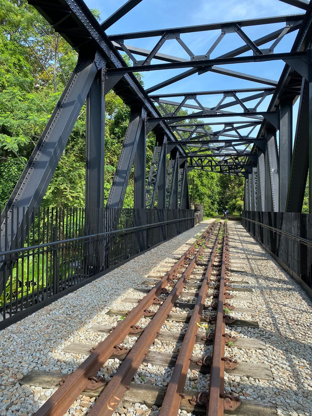
The Central Rail Corridor forms part of the Rail Corridor that runs from Tanjong Pagar to Woodlands. For this portion, start at King Albert Park station, walk a short distance along Dunearn Road and up to the former Bukit Timah Railway Station. Cross the Bukit Timah Road Truss Bridge and head north towards Woodlands.
The mostly dirt road runs parallel to Bukit Timah and is bordered by greenery on both sides. There isn’t much shade though, so bring a hat. The trail ends up at the Upper Bukit Timah Truss Bridge, and a flight of stairs next to it takes you to the popular Rail Mall. We, however, recommend continuing along Upper Bukit Timah Road until you reach Cashew MRT Station.
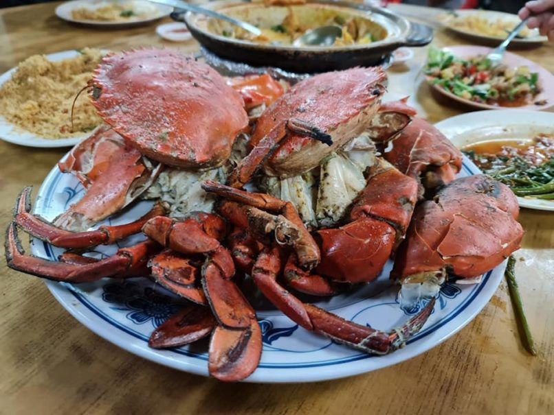
Just pass Cashew is Ga Hock Eating House. Most diners come here during dinner for Ga Hock Seafood, a zi char spot with an old school vibe and a large outdoor seating area. The eatery is known for its fish head curry, salt baked crab, but other dishes like har cheong kai, qing long vegetable, and pea shoots are excellent. There’s also Carol Satay and Otah, which makes a killer peanut sauce.
Slightly north of Ga Hock is Karu’s Banana Leaf Indian Restaurant. True to form, they serve their rice on banana leaves, and the briyani comes with free flow rice, appalam, curry, and vegetables. The garlic naan is also incredibly fragrant.
South Rail Corridor to Alexandra Village
Estimated distance: 9 kilometres
Suitable for: hiking or cycling
Bathrooms / water stops: no
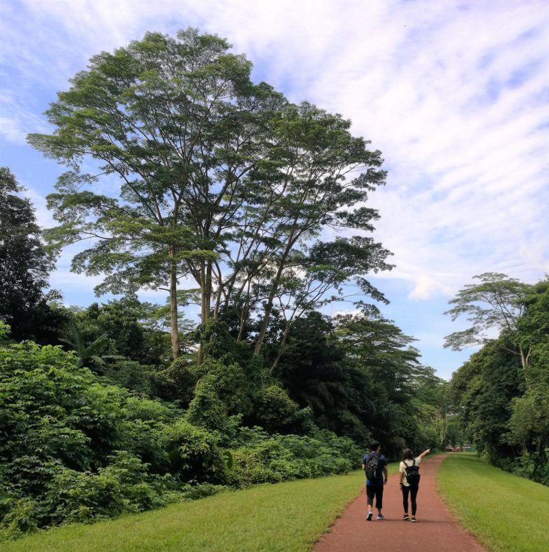
We begin again at King Albert Park Station, but this time we head south towards Tanjong Pagar. Compared to Central Rail Corridor, the trail here is gentler on the legs thanks to the built up flooring, but longer in distance. Along the way, you can check out street art painted under bridges, the gleaming facades of Science Park, and colonial houses along Portsdown Road.
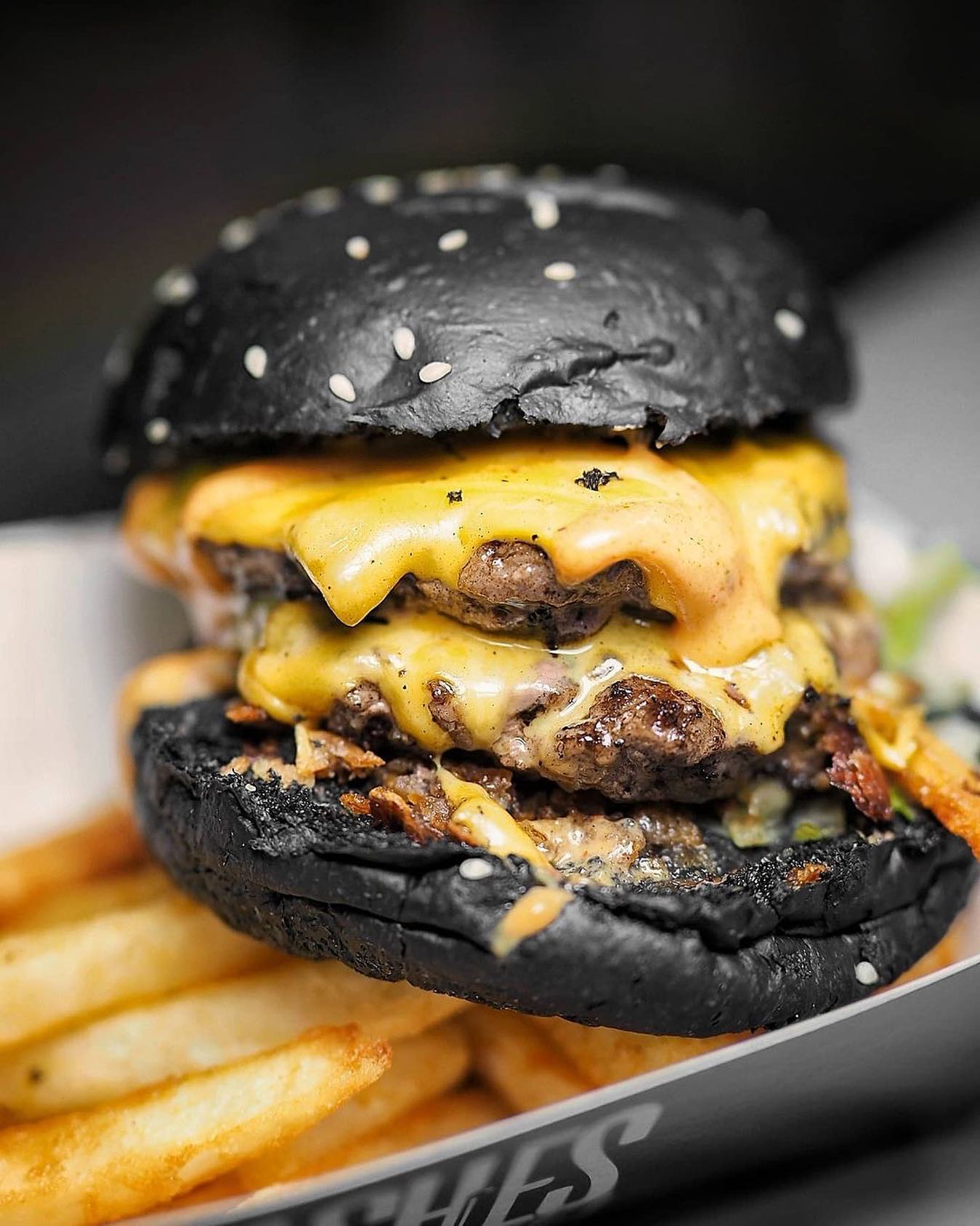
The hiking trail currently ends at Alexandra (the final stretch to Tanjong Pagar isn’t ready yet), and you’ll come out at Jalan Kilang Barat, a side road off Jalan Bukit Merah Road. It’s a short walk from there to Alexandra Village Food Centre. The place is popular for their avocado shakes, as well as stalls selling claypot rice, bak kut teh, xiao long bao, gourmet burgers, and soy sauce chicken.
Coast-to-Coast Trail to Punggol
Estimated distance: 36 kilometres
Suitable for: hiking
Bathrooms / water stops: yes
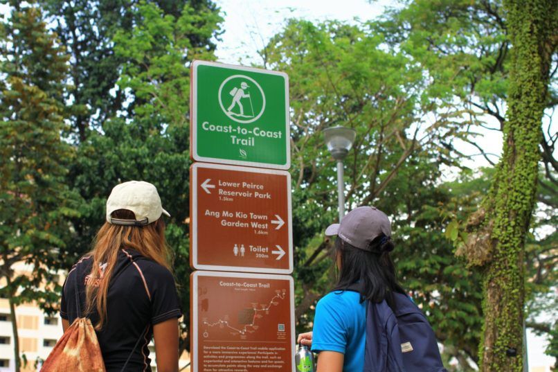
Coast-to-Coast trail is currently Singapore’s longest walking and cycling path. It starts in Jurong then snakes it way through various neighbourhoods and landmarks before ending in Punggol. Due to the length, it’s advisable to start early if you intend to do the whole trail.
Begin your journey at Jurong Lake Garden, which has a winding boardwalk that runs by the water. The quarry pool at Bukit Batok Nature Reserve offers a nice photo opportunity, while Botanic Gardens lets you explore a UNESCO World Heritage Site. Try to spot the otters at Bishan-Ang Mo Kio Park, then bird watch at Sengkang Floating Wetland. Peek at Malaysia from the Kelong Bridge in Punggol before finishing at Coney Island.
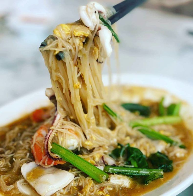
Near the end is Punggol Settlement, which houses numerous restaurants that look over the Straits of Johor. Treat yourself to the white bee hoon from White Restaurant, western fare from Fusion, or fresh crabs from House of Seafood. There’s also Indian dishes from Tandoor Lounge, Japanese beers and bites from Iazakaya 95, and mookata from Siam Square.
(Hero and feature images credits: @foodeationary/Instagram; NParks)
